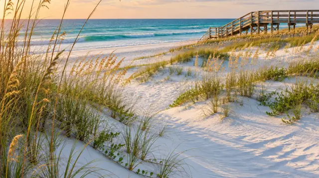
The coastal construction control line (CCCL)
The Florida Department of Environmental Protection (DEP) describes the line as the portion of the beach and dune system subject to severe fluctuations in a 100-year storm event. It sets the landward edge of the state program along sandy Gulf and Atlantic beaches. DEP states that unless an exemption applies, a DEP permit is required for construction and excavation seaward of the line. Its FAQ adds that building seaward of the line is allowed but must meet special siting and design criteria, and that not every activity needs a permit because the statute exempts some that are not expected to affect the beach and dune system.
Sources: DEP, CCCL permitting page and DEP, CCCL frequently asked questions (guidelines updated 2/17), read November 6, 2026.
A rule written for pools
Florida Administrative Code rule 62B-34.060 covers non-habitable major structures, including swimming pools at single-family homes, seaward of the line. Three of its pool conditions: a pool must be elevated fully above existing grade or have its bottom no more than two feet below existing grade; there is no net excavation of sandy soils in the immediate vicinity of the pool, and excavated sand stays seaward of the line under the pool deck and near the pool; and fill under pool decks sits at a stable angle of repose so retaining walls are not needed. Read the whole rule before you design anything, because this page covers only the pool paragraphs.
Source: Fla. Admin. Code R. 62B-34.060 (Cornell Legal Information Institute), read November 6, 2026. A legal reference site may lag the official code, so confirm with DEP.
Collier County flood zones
Collier County's floodplain page says the 2024 Collier County Coastal Flood Map is the current effective map, adopted 02/08/2024 after FEMA issued its Letter of Final Determination on August 8, 2023. It names flood zones A and V (special flood hazard areas), X, X500, B and D. It also says preliminary maps dated March 20, 2025 remain preliminary and should not be treated as the effective regulatory map, and that a 90-day appeal and comment period began August 19, 2026.
Since November 6, 2023 the county requires the latest FEMA elevation certificate form. To find a parcel, the page points to the FEMA National Flood Hazard Layer and the county's elevation certificate map. For help, the county lists a flood information hotline at (239) 252-2942. Ask the Floodplain Management staff whether your work counts as a substantial improvement.
Source: Collier County, Floodplain Management, read November 6, 2026. The page itself reports map status as of August 1, 2026.
Inside the City of Naples
The City of Naples says it lies close to sea level and that its underground water supply is just below the ground surface, so big rain at high tide can leave water nowhere to drain and cause street and yard flooding in the lowest areas. The city's floodplain page names Special Flood Hazard Areas as Zones V or A, says the 2024 Flood Insurance Rate Maps are in effect, and lists the Floodplain Coordinator at 239-213-5008. It says nearly all permitted development in the city gets a floodplain review.
The city also explains "substantial improvement": work that costs 50 percent or more of the structure's market value before the work starts. It uses the structure's assessed value from the Collier County Property Appraiser, and that value excludes the land and the pool or spa. If a building is substantially improved, it must meet current flood rules, including elevation to or above base flood elevation. FEMA defines a Special Flood Hazard Area as land with a 1 percent chance of flooding in any year.
Sources: City of Naples, Floodplain Information, City of Naples, Development in the Floodplain and FEMA, Flood Zones, read November 6, 2026. The city says its flood information is a public service and should be confirmed with an official flood zone determination from a licensed engineer, architect or surveyor.
Groundwater and your excavation
A shallow water table matters for a pool because the hole goes below grade. For your lot, the county checklist asks for engineered structural detail and site-specific design, which is where a builder or engineer should explain groundwater in writing. See the permit guide. Outside the city, ask Collier County Floodplain Management and your engineer what the water table is at your address.
Questions to ask
- What flood zone is my parcel in on the current effective map, and does the builder have the elevation certificate?
- Is my lot seaward of the coastal control line, and has the builder worked with DEP before?
- What does the engineered plan say about groundwater on my lot?
Frequently asked questions
Is the coastal construction control line a no-build line?
No. The Florida Department of Environmental Protection says the line is not a setback line. It marks where special siting and design rules apply, and construction seaward of it is not prohibited.
Does an elevation certificate come with every pool permit?
Not as a blanket rule. In the City of Naples, work inside a Special Flood Hazard Area needs an Elevation Certificate or the city's FEMA form. Collier County says an elevation certificate is needed if you plan to buy flood insurance or want to remove a home from the federal purchase requirement, and that a Professional Surveyor and Mapper must establish the elevations.